Home
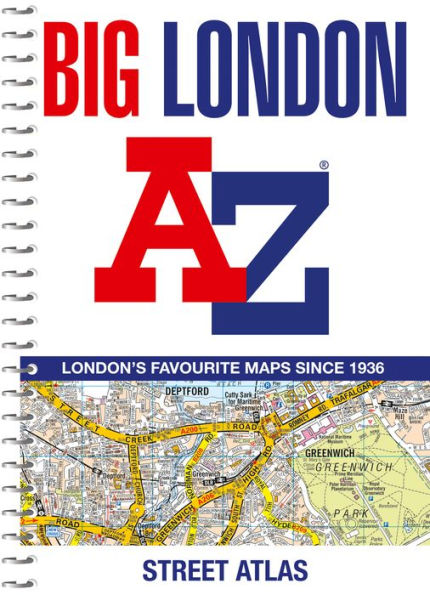
Big London A-Z Street Atlas
Barnes and Noble
Big London A-Z Street Atlas
Current price: $24.99

Barnes and Noble
Big London A-Z Street Atlas
Current price: $24.99
Size: OS
Loading Inventory...
*Product information may vary - to confirm product availability, pricing, shipping and return information please contact Barnes and Noble
The mapping features transport connections, places of interest, public buildings, postcode districts, one-way streets, Congestion and Low Emission Zones
This comprehensive street atlas of London also includes:
An overview map of the Congestion Charging Zone
West End Theatre and Cinema maps
The London Rail & Tube Services Map •
London Underground maps
A comprehensive index lists streets, selected flats, walkways and places of interest, place, area and junction names. Additional healthcare (hospitals, walk-in centres and hospices) and transport (National Rail, London Tramlink, Docklands Light Railway, London Underground and Overground stations, and River Bus pier) are indexed as well.
