Home
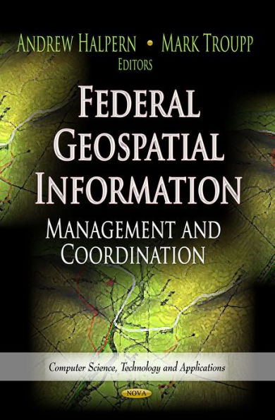
Federal Geospatial Information: Management and Coordination
Barnes and Noble
Loading Inventory...
Federal Geospatial Information: Management and Coordination
Current price: $135.00

Barnes and Noble
Federal Geospatial Information: Management and Coordination
Current price: $135.00
Loading Inventory...
Size: OS
*Product information may vary - to confirm product availability, pricing, shipping and return information please contact Barnes and Noble
Geospatial information is data referenced to a place--a set of geographic coordinates--which can often be gathered, manipulated, and displayed in real time. A Geographic Information System (GIS) is a computer data system capable of capturing, storing, analyzing, and displaying geographically referenced information. The federal government and policy makers increasingly use geospatial information and tools like GIS for producing floodplain maps, conducting the census, mapping foreclosures, congressional redistricting, and responding to natural hazards such as wildfires, earthquakes, and tsunamis. For policy makers, this type of analysis can greatly assist in clarifying complex problems that may involve local, state, and federal government, and affect businesses, residential areas, and federal installations. This book provides a primer on geospatial data and GIS and explores the complexity of managing, sharing, and using geospatial data from a variety of sources and across the breadth of the federal government.
Geospatial information is data referenced to a place--a set of geographic coordinates--which can often be gathered, manipulated, and displayed in real time. A Geographic Information System (GIS) is a computer data system capable of capturing, storing, analyzing, and displaying geographically referenced information. The federal government and policy makers increasingly use geospatial information and tools like GIS for producing floodplain maps, conducting the census, mapping foreclosures, congressional redistricting, and responding to natural hazards such as wildfires, earthquakes, and tsunamis. For policy makers, this type of analysis can greatly assist in clarifying complex problems that may involve local, state, and federal government, and affect businesses, residential areas, and federal installations. This book provides a primer on geospatial data and GIS and explores the complexity of managing, sharing, and using geospatial data from a variety of sources and across the breadth of the federal government.


