Home
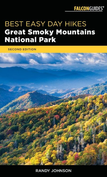
Great Smoky Mountains Vistas: A Guide, With Mountain Peak Identifications, for What to See and Do in and Around the National Park
Barnes and Noble
Loading Inventory...

Great Smoky Mountains Vistas: A Guide, With Mountain Peak Identifications, for What to See and Do in and Around the National Park
Current price: $29.95
Barnes and Noble
Great Smoky Mountains Vistas: A Guide, With Mountain Peak Identifications, for What to See and Do in and Around the National Park
Current price: $29.95
Loading Inventory...
Size: OS
*Product information may vary - to confirm product availability, pricing, shipping and return information please contact Barnes and Noble
In Great Smoky Mountains Vistas: A Guide, with Mountain Peak Identifications, for What to See and Do In and Around the National Park, author and photographer Tim Barnwell combines panoramic photographs from overlooks in and around the Great Smoky Mountains National Park, aerial photographs of western North Carolina and eastern Tennessee, and articles on popular area attractions and activities to create this unique and comprehensive guidebook.
He identifies the mountain peaks you can see from each overlook along Newfound Gap Road, Foothills Parkway and Blue Ridge Parkway that view the park, in Cataloochee Valley and Cades Cove, and from Clingmans Dome and Max Patch and numerous aerial vantage points, marking the mountains compass heading, distance, and elevation. Major roads, rivers, lakes, and towns are also identified.
This extensive travel guide also includes sections detailing the main attractions of the park including Newfound Gap Road, Cades Cove, Oconaluftee, Little River Road and Cataloochee Valley and hidden gems in and outside its boundaries, off the beaten path, such as the Cherohala Skyway, Joyce Kilmer Memorial Forest, Greenbrier, Max Patch, Tail of the Dragon and the Roaring Fork Motor Nature Trail. And the book is easy to use. Just pull into any of the overlooks, open it to the corresponding pages and you'll know what you are seeing and can read interesting facts about the area such as the history and geography, nearby points of interest, and activities.
While the mountain peak identifications are a unique component of the book, most of the articles are about activities in and around the park including camping, picnicking, fishing, hiking and waterfalls, horseback riding, bears, and nature photography, making this the ideal travel guidebook, possibly the most comprehensive available on the park and its environs.