Home
Hope Transformed: A Historical Sketch of the Hope Landscape, St Andrew, Jamaica, 1660-1960
Barnes and Noble
Hope Transformed: A Historical Sketch of the Hope Landscape, St Andrew, Jamaica, 1660-1960
Current price: $70.00


Barnes and Noble
Hope Transformed: A Historical Sketch of the Hope Landscape, St Andrew, Jamaica, 1660-1960
Current price: $70.00
Size: OS
Loading Inventory...
*Product information may vary - to confirm product availability, pricing, shipping and return information please contact Barnes and Noble
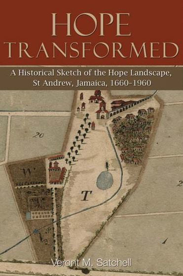
The historic Hope lands located on the Liguanea Plain in the southeastern parish of St Andrew, Jamaica, and once the site of one of the island’s earliest sugar estates, has had a long history of human settlements dating back to approximately 600 CE, the era of the indigenous Tainos. It was not until 1655, however, with the English invasion and seizure of Jamaica from the Spanish, that the Hope landscape developed into a thriving rural agrarian settlement. Generous land grants were made to the invading officers and later to immigrants from Britain and North America and from other Caribbean islands. Major Richard Hope came in possession of over 2,600 acres in the Liguanea Plain. Major Hope, unlike many of his counterparts by the 1660s, managed to establish a small sugar plantation, which developed by the mid-1700s into one of the island’s largest, most productive and technologically advanced slave sugar estates. In the 1770s the estate became the property of the Duke of Chandos and his family until 1848, when the estate was dismantled. Over 600 acres were sold to the Kingston and Liguanea Water Works Company and the remaining 1,700 acres were leased to the owner of the adjoining Papine and Mona estates. Poor accounting and border surveillance enabled several persons to possess the land, which was later sanctioned by the Limitations of Actions Law.


