Home
Lonely Planet Kids The Maps Book
Barnes and Noble
Loading Inventory...
Lonely Planet Kids The Maps Book
Current price: $19.99
Barnes and Noble
Lonely Planet Kids The Maps Book
Current price: $19.99
Loading Inventory...
Size: OS
*Product information may vary - to confirm product availability, pricing, shipping and return information please contact Barnes and Noble
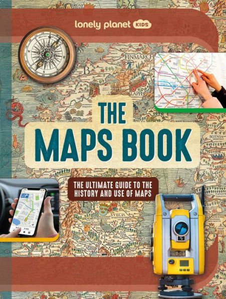
Explore the amazing world of maps from the first sketches on cave walls to realtime maps on phones. Discover their incredible history and marvel at ancient maps, war maps, weather maps and even interactive maps from computer games. Packed with awesome facts, kids will soon learn how to read maps and symbols plus learn how to make their own!
Wowfactor maps, astounding historic photographs and lively text make this incredible map book the ultimate gift for kids – and grown ups too. Insightful case studies including Winston Churchill’s Map Room and John Snow’s groundbreaking 1854 cholera map will fascinate readers and aid learning; while unusual maps of the night sky, wildlife, populations, timezones and even famous maps from literature and video games show the full breadth of the many mindblowing maps in existence.
Inside
The Maps Book
:
An exciting journey through the history of maps
including ancient maps, the first ever world map, the mapping of the world wars and beyond
Vibrant artwork, unusual maps, historic photos and engaging text
bring the world of maps to life
Fascinating case studies
aid learning and comprehension
Revolutionary modern maps
explained in detail covering GPS, online maps, streetview, 3D mapping, magneticfield maps, map apps on phones, flight radar maps and other uses of modern cartography
Making maps, using mapping tools
and understanding more about the equipment cartographers use to create and design maps
How to read a map
including longitude and latitude, grid lines, contour lines, symbols and keys as well as directions for using a compass – plus how to make your own map
Fullbreadth of maps and their purposes
such as political maps, infographic maps, transport maps, city maps, weather maps, topographic maps, geological maps, population maps, archaeology maps and mapping the natural world including climate change
Unique and quirky maps
including maps from beloved books, board game maps and mapping in bestselling video games
is the latest in Lonely Planet Kids’
The Fact Book
series following on from
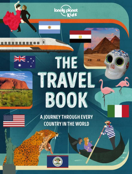
The Travel Book
,
The Cities Book
The Big Earth Book
The Animal Book
The Flags Book
The Oceans Book
The Dinosaur Book
and
The Weather Book
. Written by British author and archaeologist, Jo Bourne, this definitive guide to maps will keep curious minds engaged as they take a deep dive into the amazing world of cartography.
About Lonely Planet Kids
: Lonely Planet Kids – an imprint of the world's leading travel authority Lonely Planet – published its first book in 2011. Over the past 50 years, Lonely Planet has grown a dedicated global community of travelers, many of whom are now sharing a passion for exploration with their children. Lonely Planet Kids educates and encourages young readers at home and in school to learn about the world with engaging books on culture, sociology, geography, nature, history, space and more. We want to inspire the next generation of global citizens and help kids and their parents to approach life in a way that makes every day an adventure. Come explore!
Wowfactor maps, astounding historic photographs and lively text make this incredible map book the ultimate gift for kids – and grown ups too. Insightful case studies including Winston Churchill’s Map Room and John Snow’s groundbreaking 1854 cholera map will fascinate readers and aid learning; while unusual maps of the night sky, wildlife, populations, timezones and even famous maps from literature and video games show the full breadth of the many mindblowing maps in existence.
Inside
The Maps Book
:
An exciting journey through the history of maps
including ancient maps, the first ever world map, the mapping of the world wars and beyond
Vibrant artwork, unusual maps, historic photos and engaging text
bring the world of maps to life
Fascinating case studies
aid learning and comprehension
Revolutionary modern maps
explained in detail covering GPS, online maps, streetview, 3D mapping, magneticfield maps, map apps on phones, flight radar maps and other uses of modern cartography
Making maps, using mapping tools
and understanding more about the equipment cartographers use to create and design maps
How to read a map
including longitude and latitude, grid lines, contour lines, symbols and keys as well as directions for using a compass – plus how to make your own map
Fullbreadth of maps and their purposes
such as political maps, infographic maps, transport maps, city maps, weather maps, topographic maps, geological maps, population maps, archaeology maps and mapping the natural world including climate change
Unique and quirky maps
including maps from beloved books, board game maps and mapping in bestselling video games
is the latest in Lonely Planet Kids’
The Fact Book
series following on from
The Travel Book
,
The Cities Book
The Big Earth Book
The Animal Book
The Flags Book
The Oceans Book
The Dinosaur Book
and
The Weather Book
. Written by British author and archaeologist, Jo Bourne, this definitive guide to maps will keep curious minds engaged as they take a deep dive into the amazing world of cartography.
About Lonely Planet Kids
: Lonely Planet Kids – an imprint of the world's leading travel authority Lonely Planet – published its first book in 2011. Over the past 50 years, Lonely Planet has grown a dedicated global community of travelers, many of whom are now sharing a passion for exploration with their children. Lonely Planet Kids educates and encourages young readers at home and in school to learn about the world with engaging books on culture, sociology, geography, nature, history, space and more. We want to inspire the next generation of global citizens and help kids and their parents to approach life in a way that makes every day an adventure. Come explore!
Explore the amazing world of maps from the first sketches on cave walls to realtime maps on phones. Discover their incredible history and marvel at ancient maps, war maps, weather maps and even interactive maps from computer games. Packed with awesome facts, kids will soon learn how to read maps and symbols plus learn how to make their own!
Wowfactor maps, astounding historic photographs and lively text make this incredible map book the ultimate gift for kids – and grown ups too. Insightful case studies including Winston Churchill’s Map Room and John Snow’s groundbreaking 1854 cholera map will fascinate readers and aid learning; while unusual maps of the night sky, wildlife, populations, timezones and even famous maps from literature and video games show the full breadth of the many mindblowing maps in existence.
Inside
The Maps Book
:
An exciting journey through the history of maps
including ancient maps, the first ever world map, the mapping of the world wars and beyond
Vibrant artwork, unusual maps, historic photos and engaging text
bring the world of maps to life
Fascinating case studies
aid learning and comprehension
Revolutionary modern maps
explained in detail covering GPS, online maps, streetview, 3D mapping, magneticfield maps, map apps on phones, flight radar maps and other uses of modern cartography
Making maps, using mapping tools
and understanding more about the equipment cartographers use to create and design maps
How to read a map
including longitude and latitude, grid lines, contour lines, symbols and keys as well as directions for using a compass – plus how to make your own map
Fullbreadth of maps and their purposes
such as political maps, infographic maps, transport maps, city maps, weather maps, topographic maps, geological maps, population maps, archaeology maps and mapping the natural world including climate change
Unique and quirky maps
including maps from beloved books, board game maps and mapping in bestselling video games
is the latest in Lonely Planet Kids’
The Fact Book
series following on from
The Travel Book
,
The Cities Book
The Big Earth Book
The Animal Book
The Flags Book
The Oceans Book
The Dinosaur Book
and
The Weather Book
. Written by British author and archaeologist, Jo Bourne, this definitive guide to maps will keep curious minds engaged as they take a deep dive into the amazing world of cartography.
About Lonely Planet Kids
: Lonely Planet Kids – an imprint of the world's leading travel authority Lonely Planet – published its first book in 2011. Over the past 50 years, Lonely Planet has grown a dedicated global community of travelers, many of whom are now sharing a passion for exploration with their children. Lonely Planet Kids educates and encourages young readers at home and in school to learn about the world with engaging books on culture, sociology, geography, nature, history, space and more. We want to inspire the next generation of global citizens and help kids and their parents to approach life in a way that makes every day an adventure. Come explore!