Home
Maine Easy to Read State Map
Barnes and Noble
Loading Inventory...
Maine Easy to Read State Map
Current price: $9.99
Barnes and Noble
Maine Easy to Read State Map
Current price: $9.99
Loading Inventory...
Size: OS
*Product information may vary - to confirm product availability, pricing, shipping and return information please contact Barnes and Noble
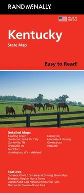
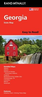
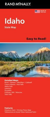
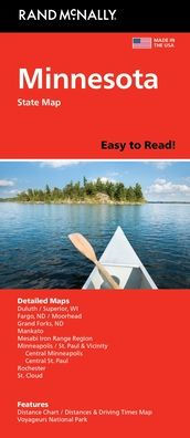
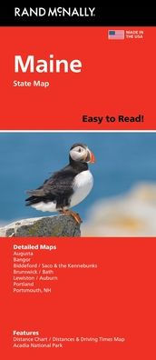
Rand McNally's Easy To Read State Folded Map is a must-have for anyone traveling in and around Maine, offering unbeatable accuracy and reliability at a great price. Our trusted cartography shows all Interstate, U.S., state, and county highways, along with clearly indicated parks, points of interest, airports, county boundaries, and streets. The easy-to-use legend and detailed index make for quick and easy location of destinations. You'll see why Rand McNally folded maps have been the trusted standard for years. Regularly updated, full-color maps. 48% larger map with a bigger type size than the Rand McNally Folded Map. Clearly labeled Interstate, U.S., state, and county highways. Indications of parks, points of interest, airports, county boundaries, and more. Mileage and driving times map. Detailed index. Convenient folded size. Coverage Area Detailed maps of: Acadia National Park, Augusta, Bangor, Brunswick/Bath, Kittery/Portsmouth, NH; Lewiston/Auburn, Portland, Saco/Biddeford. Product Details: Dimensions (unfolded): 28" x 40".
Rand McNally's Easy To Read State Folded Map is a must-have for anyone traveling in and around Maine, offering unbeatable accuracy and reliability at a great price. Our trusted cartography shows all Interstate, U.S., state, and county highways, along with clearly indicated parks, points of interest, airports, county boundaries, and streets. The easy-to-use legend and detailed index make for quick and easy location of destinations. You'll see why Rand McNally folded maps have been the trusted standard for years. Regularly updated, full-color maps. 48% larger map with a bigger type size than the Rand McNally Folded Map. Clearly labeled Interstate, U.S., state, and county highways. Indications of parks, points of interest, airports, county boundaries, and more. Mileage and driving times map. Detailed index. Convenient folded size. Coverage Area Detailed maps of: Acadia National Park, Augusta, Bangor, Brunswick/Bath, Kittery/Portsmouth, NH; Lewiston/Auburn, Portland, Saco/Biddeford. Product Details: Dimensions (unfolded): 28" x 40".