Home
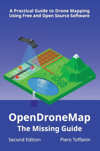
OpenDroneMap: The Missing Guide:A Practical Guide to Drone Mapping Using Free and Open Source Software, Second Edition
Barnes and Noble
OpenDroneMap: The Missing Guide:A Practical Guide to Drone Mapping Using Free and Open Source Software, Second Edition
Current price: $40.79

Barnes and Noble
OpenDroneMap: The Missing Guide:A Practical Guide to Drone Mapping Using Free and Open Source Software, Second Edition
Current price: $40.79
Size: OS
Loading Inventory...
*Product information may vary - to confirm product availability, pricing, shipping and return information please contact Barnes and Noble
OpenDroneMap: The Missing Guide
is an easy to read, comprehensive manual to use OpenDroneMap that will have you creating maps and 3D models from aerial images in no time.
In the first part of the book you will learn to orient yourself in the OpenDroneMap ecosystem, install the software, process datasets using the WebODM interface, understand the photogrammetry process, master the task options that control the final results, learn to use ground control points, geolocation files, process multispectral images, create image masks, apply rolling shutter correction, calibrate cameras, analyze reports and apply best practices for data capture.
In the second part you will dive into the more advanced features and workflows of OpenDroneMap, such as usage from the command line, using the GPU, splitting a large dataset into parts for processing on parallel network clusters and automating processing via the NodeODM API using Python.
Written by core developer Piero Toffanin,
will provide you with invaluable knowledge of the inner workings of OpenDroneMap's software. You will save countless hours of trial and error by following the advice provided in this book.
E-book also available from odmbook.com
