Home
Virginia Easy to Read
Barnes and Noble
Loading Inventory...
Virginia Easy to Read
Current price: $9.99
Barnes and Noble
Virginia Easy to Read
Current price: $9.99
Loading Inventory...
Size: OS
*Product information may vary - to confirm product availability, pricing, shipping and return information please contact Barnes and Noble
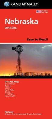
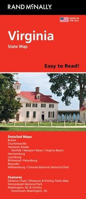
Rand McNally's folded map for Virginia is a must-have for anyone traveling in or through the state, offering unbeatable accuracy and reliability at a great price. Our trusted cartography shows all Interstate, U.S., state, and county highways and much more. - Points of interest. - State Park chart. - State mileage chart. - Driving times map. - Visitor center information. - Climate data. - State facts & symbols. - Easy-to-use legend. - Detailed indexed. Coverage Area Detailed maps include: Alexandria/Arlington, Bristol, Charlottesville, Hampton Roads: Norfolk/Newport News/Virginia Beach, Lynchburg, Richmond/Petersburg, Roanoke, Shenandoah National Park, Washington, D.C. & Vicinity, Williamsburg/Colonial National Historic Park. Product Details: Measures 9.0" x 4.125" and folds out to 25.5" x 36.75".
Rand McNally's folded map for Virginia is a must-have for anyone traveling in or through the state, offering unbeatable accuracy and reliability at a great price. Our trusted cartography shows all Interstate, U.S., state, and county highways and much more. - Points of interest. - State Park chart. - State mileage chart. - Driving times map. - Visitor center information. - Climate data. - State facts & symbols. - Easy-to-use legend. - Detailed indexed. Coverage Area Detailed maps include: Alexandria/Arlington, Bristol, Charlottesville, Hampton Roads: Norfolk/Newport News/Virginia Beach, Lynchburg, Richmond/Petersburg, Roanoke, Shenandoah National Park, Washington, D.C. & Vicinity, Williamsburg/Colonial National Historic Park. Product Details: Measures 9.0" x 4.125" and folds out to 25.5" x 36.75".