Home
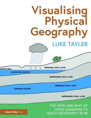
Visualising Physical Geography: The How and Why of Using Diagrams to Teach Geography 11-16
Barnes and Noble
Loading Inventory...
Visualising Physical Geography: The How and Why of Using Diagrams to Teach Geography 11-16
Current price: $180.00
Barnes and Noble
Visualising Physical Geography: The How and Why of Using Diagrams to Teach Geography 11-16
Current price: $180.00
Loading Inventory...
Size: Hardcover
*Product information may vary - to confirm product availability, pricing, shipping and return information please contact Barnes and Noble
This practical guide breaks down the complex and broad field of physical geography, demonstrating how diagrams can be used by teachers to effectively explain the key concepts behind many natural processes and landforms. Featuring over 200 diagrams that cover the key topics taught in Key Stage 3 and 4 Geography, the book shows teachers how they can convey age-appropriate concepts without overwhelming or oversimplifying.
Supported by summaries of background knowledge, common misconceptions, questions to check understanding, and extension activities, the concepts and topics explored include:
Rocks and weathering
Plate tectonics
Rivers
Coasts
Weather and climate
Ecosystems
Glaciation
Backed by research and evidence to support the use of diagrams in the classroom, this is an essential read for any geography teacher or subject lead who wants to support their students in learning key concepts in physical geography.