Home
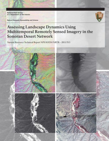
Assessing Landscape Dynamics Using Multitemporal Remotely Sensed Imagery in the Sonoran Desert Network
Barnes and Noble
Assessing Landscape Dynamics Using Multitemporal Remotely Sensed Imagery in the Sonoran Desert Network
Current price: $16.99
Barnes and Noble
Assessing Landscape Dynamics Using Multitemporal Remotely Sensed Imagery in the Sonoran Desert Network
Current price: $16.99
Size: OS
Loading Inventory...
*Product information may vary - to confirm product availability, pricing, shipping and return information please contact Barnes and Noble
Effective protocols for landscape-dynamics monitoring generally use remote sensing and Geographic Information Systems (GIS) to model broad-scale patterns and temporal changes occurring in and around national parks. Protocol development for long-term monitoring of land-scape dynamics of SODN parks involves identification of (1) appropriate remote-sensing data for monitoring, (2) image classification and processing schemes, and (3) statistical and spatial analysis techniques to describe change and pattern.
The landscape dynamics monitoring protocol presented in this document includes phases of data acquisition, processing, classification, and accuracy assessment.
The landscape dynamics monitoring protocol presented in this document includes phases of data acquisition, processing, classification, and accuracy assessment.