Home
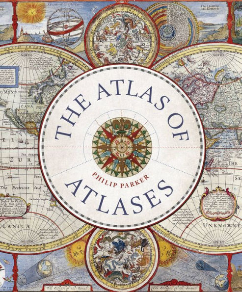
Atlas of Atlases: Exploring the most important atlases history and cartographers who made them
Barnes and Noble
Atlas of Atlases: Exploring the most important atlases history and cartographers who made them
Current price: $40.00
Barnes and Noble
Atlas of Atlases: Exploring the most important atlases history and cartographers who made them
Current price: $40.00
Size: Hardcover
Loading Inventory...
*Product information may vary - to confirm product availability, pricing, shipping and return information please contact Barnes and Noble
This beatutiful book is a lavishly illustrated look at the most important atlases in history and the cartographers who made them.
Atlases are
books that changed the course of history.
Pored over by rulers, explorers, and adventures these books were used to
build empires, wage wars, encourage diplomacy,
and
nurture trade.
Written by Philip Parker, an authority on the history of maps, this book
brings these fascinating artefacts to life
, offering a unique,
lavishly illustrated guide t
o the history of these incredible books and the cartographers behind them.
All key cartographic works from the last half-millennium are covered, including:
The
Theatrum Orbis Terrarum
, considered
the world’s first atlas
and produced in 1570 by the Dutch, geographer Abraham Ortelius,
The 17th-century
Klencke
— one of the
world’s largest books
that requires 6 people to carry it,
The Rand McNally Atlas of 1881, still in print today and a book that turned its makers, William H Rand and Andrew McNally into
cartographic royalty.
This
beautiful book
will
engross readers with its detailed, visually stunning illustrations
fascinating story
of how map-making has developed throughout human history.