Home
Companions in Geography: East-West Collaboration in the Mapping of Qing China (c.1685-1735)
Barnes and Noble
Companions in Geography: East-West Collaboration in the Mapping of Qing China (c.1685-1735)
Current price: $152.00


Barnes and Noble
Companions in Geography: East-West Collaboration in the Mapping of Qing China (c.1685-1735)
Current price: $152.00
Size: OS
Loading Inventory...
*Product information may vary - to confirm product availability, pricing, shipping and return information please contact Barnes and Noble
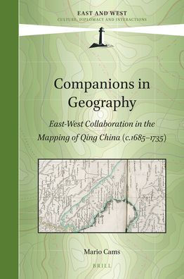
In Companions in Geography Mario Cams revisits the early 18th century mapping of Qing China, without doubt one of the largest cartographic endeavours of the early modern world. Commonly seen as a Jesuit initiative, the project appears here as the result of a convergence of interests among the French Academy of Sciences, the Jesuit order, and the Kangxi emperor (r. 1661-1722). These connections inspired the gradual integration of European and East Asian scientific practices and led to a period of intense land surveying, executed by large teams of Qing officials and European missionaries. The resulting maps and atlases, all widely circulated across Eurasia, remained the most authoritative cartographic representations of continental East Asia for over a century. This book is based on Dr. Mario Cams' dissertation, which has been awarded the "2017 DHST Prize for Young Scholars" from the International Union of the History and Philosophy of Science and Technology, Division of History of Science and Technology (IUHPST/DHST).


