Home
Mapping Virginia: From the Age of Exploration to the Civil War
Barnes and Noble
Mapping Virginia: From the Age of Exploration to the Civil War
Current price: $94.95
Barnes and Noble
Mapping Virginia: From the Age of Exploration to the Civil War
Current price: $94.95
Size: OS
Loading Inventory...
*Product information may vary - to confirm product availability, pricing, shipping and return information please contact Barnes and Noble
(Note: The limited deluxe edition of
Mapping Virginia
has sold out.)
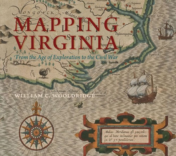
As one of the chief gateways to the earliest exploration and settlement of the North American continent, Virginia was the subject of much imaginative thought and practical scrutiny. Not surprisingly, it possesses a fascinating cartographical heritage. Moving from the years preceding Jamestown to the dawn of the postbellum era,
represents the most comprehensive available selection of printed maps from Virginia’s first three hundred years. Beginning with the first, tentative renderings of the mid-Atlantic coast in the sixteenth century, the book provides a detailed listing of the vast majority of the printed maps canvassing Virginia before 1830. A large group of maps depicting Virginia during the Civil War is also included. The maps are all reproduced through abundant illustrations, and each is placed in its historical context.
Because the legal and popularly conceived boundaries of Virginia were in flux for many generations, the maps encompass a great deal of geography not presently part of the commonwealth. As a result, the three centuries of maps collected here reflect an evolving idea of what Virginia is, a concept as much as a strict regionthe lands and themes that came to mind at various points in time when a cartographer designed what he believed conveyed "Virginia."In addition to their great historic and geographic significance, the maps exhibit an exquisite artistry, placing before the reader breathtaking examples of the draftsman’s, engraver’s, and colorist’s craft. These qualities are on display in hundreds of illustrations, over half of which are in color.
Written for the general reader as well as the map connoisseur,
demonstrates the remarkable process by which Virginia gradually, magically revealed its form to the collective mind.
Published for the Library at the Mariners' Museum in association with the Virginia Cartographical Society
Mapping Virginia
has sold out.)
As one of the chief gateways to the earliest exploration and settlement of the North American continent, Virginia was the subject of much imaginative thought and practical scrutiny. Not surprisingly, it possesses a fascinating cartographical heritage. Moving from the years preceding Jamestown to the dawn of the postbellum era,
represents the most comprehensive available selection of printed maps from Virginia’s first three hundred years. Beginning with the first, tentative renderings of the mid-Atlantic coast in the sixteenth century, the book provides a detailed listing of the vast majority of the printed maps canvassing Virginia before 1830. A large group of maps depicting Virginia during the Civil War is also included. The maps are all reproduced through abundant illustrations, and each is placed in its historical context.
Because the legal and popularly conceived boundaries of Virginia were in flux for many generations, the maps encompass a great deal of geography not presently part of the commonwealth. As a result, the three centuries of maps collected here reflect an evolving idea of what Virginia is, a concept as much as a strict regionthe lands and themes that came to mind at various points in time when a cartographer designed what he believed conveyed "Virginia."In addition to their great historic and geographic significance, the maps exhibit an exquisite artistry, placing before the reader breathtaking examples of the draftsman’s, engraver’s, and colorist’s craft. These qualities are on display in hundreds of illustrations, over half of which are in color.
Written for the general reader as well as the map connoisseur,
demonstrates the remarkable process by which Virginia gradually, magically revealed its form to the collective mind.
Published for the Library at the Mariners' Museum in association with the Virginia Cartographical Society