Home
Nottingham A-Z Street Atlas
Barnes and Noble
Loading Inventory...
Nottingham A-Z Street Atlas
Current price: $13.95
Barnes and Noble
Nottingham A-Z Street Atlas
Current price: $13.95
Loading Inventory...
Size: OS
*Product information may vary - to confirm product availability, pricing, shipping and return information please contact Barnes and Noble
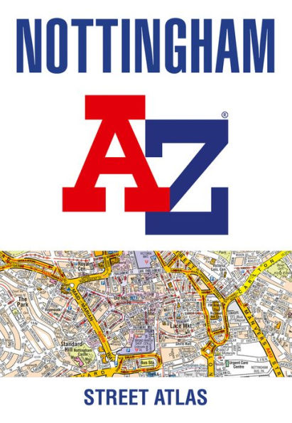
This A-Z map of Nottingham is a full colour, paperback atlas with 74 pages of continuous street mapping which extends to include: • Arnold • Beeston • Burton Joyce • Calverton • Carlton • Clifton • Cotgrave • Eastwood • Heanor • Hucknall • Ilkeston • Keyworth • Long Eaton • Radcliffe on Trent • Stapleford • West BridgfordThere is also separate coverage of Bingham.Also included is: • a large scale city centre map of Nottingham • a postcode map of the Nottingham area • a road map of the Nottingham area • the full Nottingham Express Transit mapPostcode districts, one-way streets, park and ride sites and safety camera locations with speed limits are featured on the street mapping.The index section lists streets; selected flats, walkways and places of interest; place and area names; railway stations; Nottingham Express Transit stops; hospitals and hospices covered by this atlas.
This A-Z map of Nottingham is a full colour, paperback atlas with 74 pages of continuous street mapping which extends to include: • Arnold • Beeston • Burton Joyce • Calverton • Carlton • Clifton • Cotgrave • Eastwood • Heanor • Hucknall • Ilkeston • Keyworth • Long Eaton • Radcliffe on Trent • Stapleford • West BridgfordThere is also separate coverage of Bingham.Also included is: • a large scale city centre map of Nottingham • a postcode map of the Nottingham area • a road map of the Nottingham area • the full Nottingham Express Transit mapPostcode districts, one-way streets, park and ride sites and safety camera locations with speed limits are featured on the street mapping.The index section lists streets; selected flats, walkways and places of interest; place and area names; railway stations; Nottingham Express Transit stops; hospitals and hospices covered by this atlas.


![THE WORLD EP.FIN : WILL [Z ver.] [Barnes & Noble Exclusive]](https://prodimage.images-bn.com/pimages/0810141850835_p0_v5_s600x595.jpg)