Home
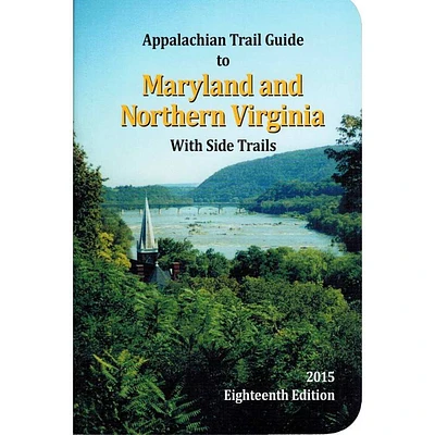
Official A.T. Guide Sets - MD/VA, NY/NJ, PA
Mountain High Outfitters
Official A.T. Guide Sets - MD/VA, NY/NJ, PA
From APPALACHAIN TRAIL CONF.
Current price: $10.45
Mountain High Outfitters
Official A.T. Guide Sets - MD/VA, NY/NJ, PA
From APPALACHAIN TRAIL CONF.
Current price: $10.45
Color: Md / North Va
Size: MPBK
Loading Inventory...
*Product information may vary - to confirm product availability, pricing, shipping and return information please contact Mountain High Outfitters
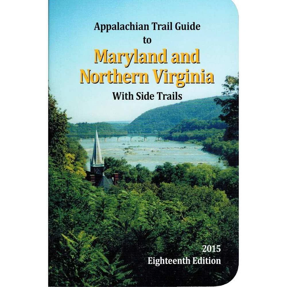
Covers Maryland, the eastern panhandle of West Virginia, and northern Virginia -- 94 miles from Pen Mar on the Pennsylvania border to the entrance to Shenandoah National Park near Front Royal, Virginia. Includes three five-color topographic maps with elevation profiles; scale, 1:62,500. Published by the Potomac Appalachian Trail Club.
Covers 174 miles from Kent, Connecticut, to Delaware Water Gap National Recreation Area on the New Jersey-Pennsylvania line. Includes book and four four-color topographic maps (two sheets) with elevation profiles; scale, 1:63,360. 280 pages.
Covers 229 miles from Delaware Water Gap National Recreation Area to the town of Pen Mar on the Maryland border. Includes book and two maps published by the Keystone Trails Association, and three maps produced by the Potomac Appalachian Trail Club.