Home
The Clyde: Mapping the River
Barnes and Noble
The Clyde: Mapping the River
Current price: $42.99
Barnes and Noble
The Clyde: Mapping the River
Current price: $42.99
Size: OS
Loading Inventory...
*Product information may vary - to confirm product availability, pricing, shipping and return information please contact Barnes and Noble
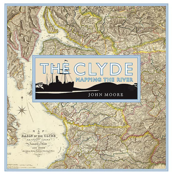
The Clyde is arguably the most evocative of Scottish rivers. Its mention conjures up a variety of images of power, productivity and pleasure from its ‘bonnie banks’ through the orchards of south Lanarkshire to its association with shipbuilding and trade and the holiday memories of thousands who fondly remember going ‘doon the watter’. Its story reflects much of the history of the lands it flows through and the people who live on its banks. This book looks at the maps which display the river itself from its source to the wide estuary which is as much a part of the whole image. It discusses how the river was mapped from its earliest depictions and includes such topics as navigation, river crossings, war and defence, tourism, sport and recreation, industry and power and urban development.