Home
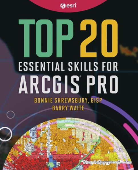
Top 20 Essential Skills for ArcGIS Online
Barnes and Noble
Top 20 Essential Skills for ArcGIS Online
Current price: $49.99

Barnes and Noble
Top 20 Essential Skills for ArcGIS Online
Current price: $49.99
Size: Paperback
Loading Inventory...
*Product information may vary - to confirm product availability, pricing, shipping and return information please contact Barnes and Noble
Making interactive web maps has never been easier.
Top 20 Essential Skills for ArcGIS Online
guides readers, step by step, through the process of creating maps that simplify location data and unlock spatial insights. In just a few clicks, you’ll publish professional web maps that use smart, data-driven mapping styles and powerful analysis tools.
These bite-sized chapters demonstrate how to create layers, build web maps, and showcase your location data in professional visualizations. Each chapter takes about 45 minutes to complete.
includes:
Easy-to-understand, step-by-step tutorials
Simple instructions with plenty of screenshots showing what to do
Resources that provide readers with self-paced learning opportunities
By the end of this book, you’ll know:
Smart mapping, blend modes, effects, setting visibility ranges, and other basic cartography techniques
ArcGIS Living Atlas of the World, ArcGIS Notebooks, charts, forms, and data pipelines
How to share your maps to the world
is perfect for students looking for a comprehensive guide to follow from beginning to end, professionals looking to learn specific skills, or those who want a single, reliable, comprehensive resource for learning how to create web maps.
Make your own interactive web maps using the first book from Esri Press exclusively for ArcGIS Online.
