Home
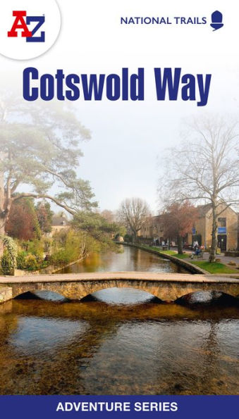
Cotswold Way National Trail Official Map
Barnes and Noble
Cotswold Way National Trail Official Map
Current price: $16.99
Barnes and Noble
Cotswold Way National Trail Official Map
Current price: $16.99
Size: OS
Loading Inventory...
*Product information may vary - to confirm product availability, pricing, shipping and return information please contact Barnes and Noble
The Cotswold Way is a 102 mile (164 km) National Trail running along the Cotswold Hills. Starting in the historic City of Bath and finishing in Chipping Campden, the clearly marked route passes through numerous places of interest and an abundance of wildlife. This official National Trail Map features detailed mapping at a scale of 1:25 000, providing complete coverage of the Cotswold Way. There is also a route planner included to show distances between places and the amenities available making it easy to plan your adventure. Additional features include: Information Centres Hotels/B&Bs Youth Hostels Campsites (seasonal opening) Public Houses Restaurants Shops Cafes (seasonal opening) Petrol Stations Other walks available in the A-Z Adventure series include: Coast to Coast, Norfolk Coast Path and Peddars Way, Pembrokeshire Coast Path, South Downs Way and The North Coast 500.