Home
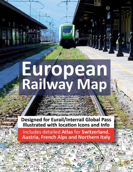
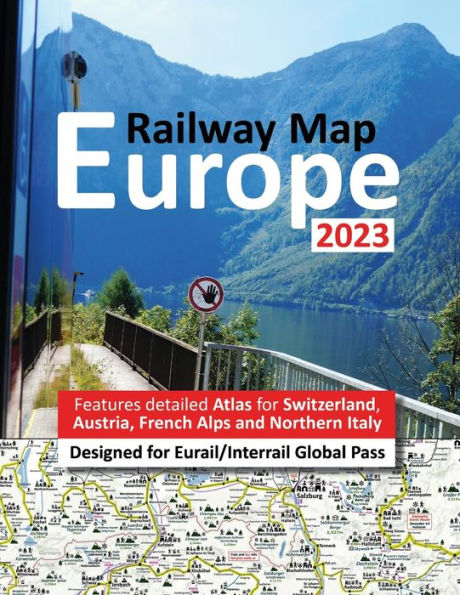
Europe Railway Map 2023 - Features Detailed Atlas for Switzerland and Austria - Designed for Eurail/Interrail Global Pass
Barnes and Noble
Europe Railway Map 2023 - Features Detailed Atlas for Switzerland and Austria - Designed for Eurail/Interrail Global Pass
Current price: $25.00
Barnes and Noble
Europe Railway Map 2023 - Features Detailed Atlas for Switzerland and Austria - Designed for Eurail/Interrail Global Pass
Current price: $25.00
Size: OS
Loading Inventory...
*Product information may vary - to confirm product availability, pricing, shipping and return information please contact Barnes and Noble
is a completely unique
and
and features super detailed
for
.
is specifically designed for
holders who want to include the many majestic
routes and fascinating Medieval towns in their travel plans. Atlas covers all 33 European counties included in
plus
ferry routes heading to
Planning an
is always a difficult choice and compromise with an infinite number of possible routes and fabulous locations to visit and explore.
is illustrated with
which indicate all major
listed sites including significant Roman artefacts, castles, hill top citadels/fortifications, aqueducts/bridges, spiritual buildings including Cathedrals, Mosques, Monasteries and Abbeys, museums/art galleries and attractive Old World Medieval towns and protected landscapes so you know instantly where you focus your time and which routes best suit your interests.
What else to expect:
- All mainline railway lines.
- Routes which require additional seat reservations and supplements (orange highlights).
- Majority of local lines.
- Easy identification of scenic routes (green highlights).
- Branded
scenic routes are identified with special-coloured highlights
- All the most popular tourist destination, capital cities and major towns on the entire network are highlights.
- Ski resorts and popular summer hiking destinations.
- Ports and popular ferry routes including info on many of the massive RailPass holder discounts.
- Clear identification of major National Parks.
- Airports (with red highlighted airport codes).
- Sandy beaches and stunning coastlines.
- Mountain ranges including height in meters and major inland lakes.
- A-Z grid/page index for easy identification of all major tourist locations and acts a go-to list of all major must-visit tourist destinations
- European currency guide p29.
- Handy back page Atlas Icon Legend and European Map with country names including Atlas page numbers
- Accompanying websites: www.InfoRailMap.com
has been specifically designed as easy and quick reference with clear indication of all major stops and top notch tourist destinations to include in your plans for the entire European Railway Network (Global RailPass) in an easy to pack away format with full colour A4 durable quality paper plus long lasting laminated glossy cover. The large A4 letter paperback format includes duplications to enable super easy route planning.
Please be aware that the names of train stations/locations vary depending on which country you are in and that they are a compromise between leading network schedules Die Bahn, Interrail App and Google Maps. The goal is to ensure that you can easily identify and recognise the location, regardless of where you are from. Due to the massive size of Europe's physical terrain, it would be impractical to create an Atlas scale that would add unnecessary pages and increased printing costs therefore the physical space of Europe has been altered in shape ie most notably Scandinavia, Northern England, South of France and Greece.