Home
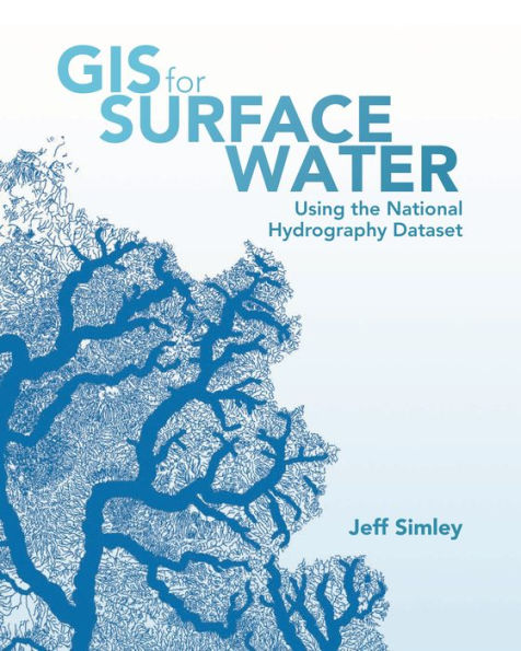
GIS for Surface Water: Using the National Hydrography Dataset
Barnes and Noble
GIS for Surface Water: Using the National Hydrography Dataset
Current price: $71.99
Barnes and Noble
GIS for Surface Water: Using the National Hydrography Dataset
Current price: $71.99
Size: Paperback
Loading Inventory...
*Product information may vary - to confirm product availability, pricing, shipping and return information please contact Barnes and Noble
Application of the ArcGIS suite of geographic and network analysis tools makes the science of surface water come to life.
vividly demonstrates how the vast capabilities of ArcGIS can be easily applied to the National Hydrography Dataset and companion Watershed Boundary Dataset to reveal the intricate properties of complex water networks. A variety of GIS operations are made simpler through the use of ArcGIS. You will be able to input the National Hydrography Dataset in your GIS and trace the path of water within minutes. With just a little more effort, you will be able to create enlightening flow-volume maps showing how much water flows through any given river system. By following basic principles outlined in the book, you will discover that these methods also apply to the science of surface-water systems for any nation. User stories by experienced water analysts are also included to help buoy your knowledge of GIS for surface water.