Home
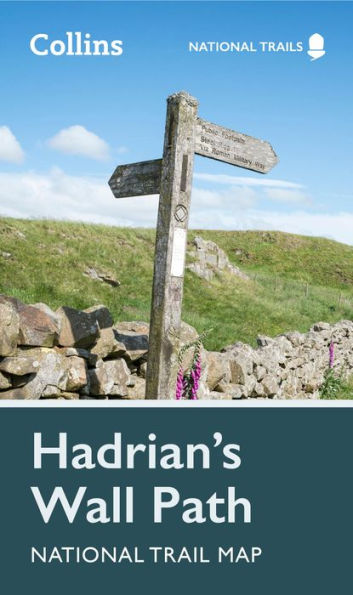
Hadrian's Wall Path National Trail Map
Barnes and Noble
Hadrian's Wall Path National Trail Map
Current price: $11.99
Barnes and Noble
Hadrian's Wall Path National Trail Map
Current price: $11.99
Size: OS
Loading Inventory...
*Product information may vary - to confirm product availability, pricing, shipping and return information please contact Barnes and Noble
Highlights of this Planning Map include:
Part of the National Trail network, this long-distance footpath covers 84 miles (135 km) along the line of Hadrian's Wall from coast-to-coast. Starting in Wallsend in Newcastle and ending in Bowness-on-Solway, this path weaves through beautiful countryside, encountering historic remains of Roman forts and milecastles, and splendid bridges. A suggested walking itinerary makes it easy for users to plan their journey along this popular route.