Home
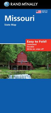
MISSOURI EASY TO READ
Barnes and Noble
MISSOURI EASY TO READ
Current price: $7.99
Barnes and Noble
MISSOURI EASY TO READ
Current price: $7.99
Size: OS
Loading Inventory...
*Product information may vary - to confirm product availability, pricing, shipping and return information please contact Barnes and Noble
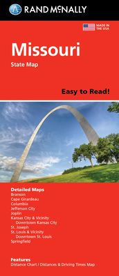
Rand McNally's Easy To Read State Folded Map is a must-have for anyone traveling in and around Missouri, offering unbeatable accuracy and reliability at a great price. Our trusted cartography shows all Interstate, U.S., state, and county highways, along with clearly indicated parks, points of interest, airports, county boundaries, and streets. The easy-to-use legend and detailed index make for quick and easy location of destinations. You'll see why Rand McNally folded maps have been the trusted standard for years. -Regularly updated, full-color maps. -44% larger map with a bigger type size than the Rand McNally Folded Map. -Clearly labeled Interstate, U.S., state, and county highways. -Indications of parks, points of interest, airports, county boundaries, and more. -Mileage and driving times map. -Detailed index. -Convenient folded size. Coverage Area Detailed maps of Branson, Cape Girardeau, Columbia, Jefferson City, Joplin, Kansas City & Vicinity, Downtown Kansas City, Poplar Bluff, St. Joseph, St. Louis & Vicinity, Downtown St. Louis, Springfield. Product Details: Dimensions (unfolded): 28 x 40.