Home
Nevada Easy to Read
Barnes and Noble
Nevada Easy to Read
Current price: $9.99
Barnes and Noble
Nevada Easy to Read
Current price: $9.99
Size: OS
Loading Inventory...
*Product information may vary - to confirm product availability, pricing, shipping and return information please contact Barnes and Noble
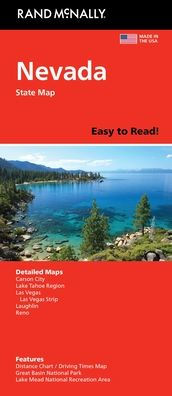
Rand McNally's folded map for Nevada is a must-have for anyone traveling in or through the state, offering unbeatable accuracy and reliability at a great price. Our trusted cartography shows all Interstate, U.S., state, and county highways and much more. - Regularly updated, full-color maps. - Clearly labeled Interstate, U.S., state, and county highways. - Detail maps of major cities, a mileage chart, and a Mileages & Driving Times Map. - Indications of parks, points of interest, airports, county boundaries, and more. - Easy-to-use legend. - Detailed index. - Convenient folded size. Coverage Area Detailed maps include: Carson City, Lake Mead National Recreation Area, Lake Tahoe Region, Las Vegas, Las Vegas Strip, Laughlin, Reno.